
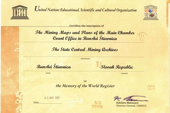
 The certificate confirming the inscription on the UNESCO register. (source: Courtesy of the State Central Mining Archives)
AN HISTORICAL map of the main branch of the Horná Bíberova štôlňa (Upper Bíber’s Mine) in the Banská Štiavnica region dating back to 1641 has been restored by experts from the State Central Mining Archives, the Slovak National Archives as well as other institutions, said Maroš Stano, the spokesman for the Environment Ministry, to the SITA newswire.
Visitors to the State Mining Museum can now compare photos documenting the map’s condition after it was received by the Slovak National Archives in 1990 with the restored original.
“The restoration workshops created by the Norwegian Financial mechanism are accessible as well” at the museum, Stano added.
The map is the oldest known document about this group of mines in Banská Štiavnica, which was one of the most important mining and minting areas of the Kingdom of Hungary. In 2007 the maps were entered in UNESCO’s World’s Memory registry as they illustrate the operation of the mines from the time they were in the hands of the Hungarian Kingdom to when the Brenner mining company subsequently went bankrupt.
The value of the map has been enhanced by additional drawings of operational facilities, technological equipment and work activities, SITA wrote.
