

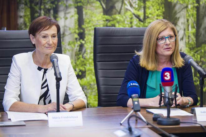
 UGKK chair Mária Frindrichová and Agriculture Minister Gabriela Matečná, from left. (source: TASR)
The Agriculture and Rural Development Ministry has, for the first time in Slovakia’s history, released maps of the areas cultivated by farmers who are eligible to request direct payments for them, with farmers being able to check and actively solve their property relationships thanks to cooperation with the Office of Geodesy, Cartography and Land Registry (UGKK), Agriculture Minister Gabriela Matečná (SNS) informed on July 12.
“Since starting in my post [of agriculture minister], we’ve been introducing at the Agriculture Ministry measures to increase transparency in the agriculture sector,” said Matečná, as cited by the TASR newswire. “We’re continuing our previous steps in this area and, in cooperation with the Office of Geodesy, Cartography and Land Registry, we’re presenting a unique solution to the publishing of the Land Register. This historically unique cooperation brings a level of transparency that has been missing under any of my predecessors. The system we’ve launched is clear, user-friendly, and, importantly, not only applicants but also the public can access it.”
The Agriculture Ministry in cooperation with the UGKK claims that it is going beyond all obligations arising from European or national legislation. With a few clicks, landowners and farmers can verify ownership of the farmland.
One year ago, the Office of Geodesy, Cartography and Land Registry made available a new web application, the ZBGIS Map Client, which provides full-scale information from the geodesy, cartography and land registry sector. The app is functionally focused on displaying and working interactively with digital data from the real estate registry, ZBGIS data, the address registry, referential geodetic points, raster maps from the archive as well as the digital terrain model and geographic names.
“This data is integrated into one unit, allowing users to obtain more comprehensive information about a particular territory not only from the point of view of current ownership but also from the point of view of topography,” said UGKK chair Mária Frindrichová.
