
The Cesta Hrdinov SNP hiking trail winds across Slovakia, from the Dukla Pass in the northeast to Bratislava in the west. If you wanted, you could take a car and visit both places in a single day.
Or follow the red hiking markers and get to your destination in about a month of walking.
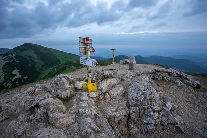
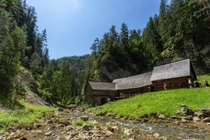
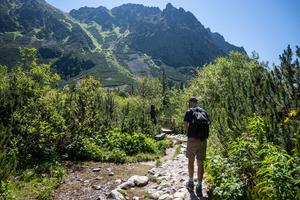
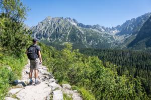
Iconic places in Slovakia such as Kriváň Peak in the High Tatras, the Tomášovský Viewpoint above the unforgettable Slovak Paradise full of wonderful ravines, or unique mills on the path between the beautiful valleys of Prosiecka and Kvačianska Dolina valleys, and many others, are also accessible thanks to the hiking markers.
This year marks the 150th anniversary of the organised tourism tradition in Slovakia. Over that time, the country has developed one of the densest and most comprehensive networks of hiking trails in Europe, boasting almost 15,000 kilometres in total, with around 7,000 markers and 2,000 signposts placed on them.
The system is taken care of by the members of the Club of Slovak Tourists (KST). The Slovak Spectator talked to Dušan Valúch, member of the Marking Section, and former general secretary of KST about its origins, development, and how volunteers mark the trails.
Long tradition
The tradition of organised tourism dates to 150 years ago. Around this time, tourism began to develop in the country thanks to the development of transport. This made hiking accessible to city dwellers, who wanted to relax in forests and distant mountains. However, the activity was available only to those who were well-off.
On August 10, 1873, in today's village of Starý Smokovec in the High Tatras mountains, the Hungarian Carpathian Association (UKS), the oldest of the Tatra mountain societies, was established.
The first trail was marked a year later near the UNESCO town of Banská Štiavnica, central Slovakia, where members of the KST Sitno club marked a trail from the Červená Studňa saddle, (Red Well, above Banská Štiavnica) to a mine.
