This article was prepared for an edition of the Spectacular Slovakia travel guideand was published in the travel guide Slovakia.
 A helping hand in the heart of Europe offers for you Slovakia travel guide.
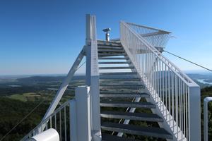
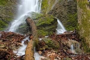
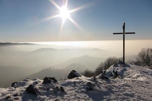
One of the most distinctive features of Slovakia’s landscape is the Malé Karpaty, or Small Carpathians. This range of hills is not particularly high (Záruby, its highest peak, is 767 metres / 2,516 ft above sea level), but it is visible across the Danubian plain from many kilometres away. Aside from the fine forest cycling or walks in the hills close to the capital, which can be reached simply by boarding a trolley-bus in the city centre, the whole of the range, and the towns and villages along its eastern flanks, make for a great day, or days, out. Before hitting the trails, be sure to pick up the Malé Karpaty-Bratislava hiking map. The map outlines hiking and biking trails throughout the region, including trails in the Carpathians to castle ruins such as Pajštún, Plavecký hrad, Ostrý Kameň and the Červený Kameň Castle.
The south-eastern flanks of these hills have been a wine-growing area for hundreds of years. Further out, towns such as Svätý Jur, Pezinok and Modra nestle at the bottom of the wooded hills, each nurturing their own unique food, drink and folk culture. They are linked by a local tourism initiative, the Little Carpathians Wine Route (MVC).


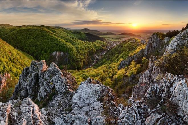 Kršlenica Peak in Malé Karpaty (source: Tibor Rendek)
