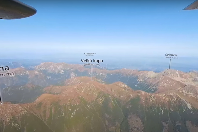
It is possible to get to know the High Tatras thanks to 360° technology. Pilot Milan Paprčka, cartographer Bohuš Schwarzbacher and graphic artist Milan Jančovič created an aerial video-map of the High Tatras using this technology.
 Tatras travel guide: A fresh take on the stunning soul of Slovakia. (source: Spectacular Slovakia)
The High Tatras are probably the first and only mountains in the world that may boast this kind of map, opined Paprčka.
“I placed a 360° camera at the bottom of the plane and it shot everything around,” said the pilot and aerial photographer Milan Paprčka, as quoted by the SITA newswire. “It is similar to a Google car, which has such a camera on the roof and it is going around the streets.”“I placed a 360° camera at the bottom of the plane and it shot everything around,” said the pilot and aerial photographer Milan Paprčka, as quoted by the SITA newswire. “It is similar to a Google car, which has such a camera on the roof and it is going around the streets.”
The flight was the first and easier part. Then it was necessary to place a description of the Tatras peaks, valleys, chalets and glacier lakes into the video so that they would still remain at the spot and displayed correctly despite the angle of the spectator.
“Colleague Bohuš Schwarzbacher went for the choice of cartographical subscription,” said graphic artist and computer animator Milan Jančovič, as quoted by the SITA.
A production of such a video with descriptions is very difficult, in terms of the animator's time as well as the computer's capacity, Jančovič explained. He added that the computer failed several times, taking several dozens of hours of work and resulting in several wrinkles for him. “But I think that the result is worth it,” he said.
The virtual flight starts with Kriváň at an altitude of 3,000 metres and then the plane continues to Lomnický Peak. The highest peak Gerlach is captured from the north and not from the typical southern side, as people usually know it. Also, the Polish side of the High Tatras is on the video-map.
Spectacular Slovakia travel guides
A helping hand in the heart of Europe thanks to the Slovakia travel guide with more than 1,000 photos and hundred of tourist spots.
Detailed travel guide to the Tatras introduces you to the whole region around the Tatra mountains, including attractions on the Polish side.
Lost in Bratislava? Impossible with our City Guide!
See some selected travel articles, podcasts, traveller's needs as well as other guides dedicated to Nitra, Trenčín Region, Trnava Region and Žilina Region.


 (source: Youtube/Slovensko z neba)
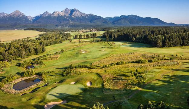
 Black Stork Golf Resort in the High Tatras (source: Courtesy of Golf International)