

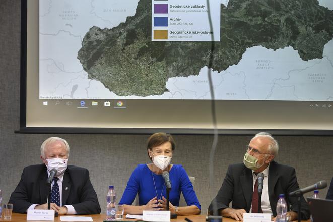
 Right to left: Agriculture Minister Ján Mičovský, head of Agriculture Ministry and Geodesy, Cartography and Cadastre Authority Mária Frindrichová and state secretary of the ministry Martin Fecko presenting new maps. (source: TASR)
The owners of plots may now check everything connected to land in one place, including the recipients of subsidies from EU funds.
The new website with agricultural maps now provides data about plot owners, whether the land is requested for agricultural subsidies, and the usual rent of the soil in a given location.

The website was created as part of the cooperation between the Agriculture Ministry and the Geodesy, Cartography and Cadastre Authority.
"Land ownership relations in Slovakia require a lot of clearing ip, which, unfortunately, our predecessors neglected," said Agriculture Minister, Ján Mičovský (OĽaNO), as quoted by the SITA newswire.
Connected with the financial database
The ministry plans to bring more transparency to the system, to reveal possible fraud in drawing agricultural subsidies. It should also simplify access to information on the agricultural plots.

"Thanks to long-term and intensive cooperation with the Office of Geodesy, Cartography and Cadastre, we managed to make available additional data on agricultural land, which historically has never been available in one place," Mičovský continued, as quoted by SITA. "We are now placing this control instrument in the hands of the general public."
The website is linked with the Finstat website, enabling the gaining of closer information about the requester receiving agriculture subsidies for the plot. For example, it is possible to find out with one click whether a shell company is doing business on the land or if a farmer has debts.
