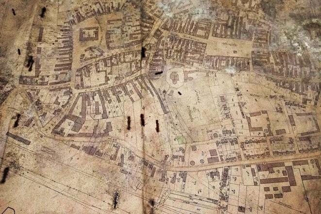
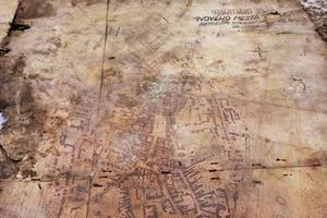
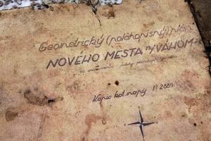
A set of maps revealing lost parts of a major Slovak town have been discovered taped to the bottom of an old desk where they had lain hidden for more than 80 years.
The two maps of Nové Mesto Nad Váhom, western Slovakia, which contain detailed plans of the town, including cellars and other underground locations, are believed to have been stuck to the bottom of the desk sometime around 1940.
Local man Ján Kudlík, who found the maps, said he had been cleaning the parish cellars when he came across an old table and found plastic covering up some old papers stuck to the bottom of it. He and some colleagues pulled them off to reveal what he describes as "ancient drawings" and immediately recognised one as a plan of Nové Mesto Nad Váhom.
One of the maps has been identified as a plan drawn up by an official in the town's surveyor's office and shows streets and squares that no longer exist. The other map, which is dated 1940, shows a plan for gasification of the city.
Both maps have been handed over to the Regional Monuments Office in Trenčín and are expected to help reveal more about the town's past.
However, Kudlík says the mystery of why they were strapped to the bottom of the desk, and who put them there is likely to never be solved.
"Those maps could easily have ended up in the container during cleaning. But the fact that they were hidden and fixed under the table was really surprising. Even the drawings and texts were oriented towards the wood so that they could not be seen at first glance. In the 1940s, priests lived in the presbytery, and they also had an influence on the city council. If someone wanted to destroy the maps, they would burn them. Why they hid them like that raises questions. But we probably won't clear up the story of these hidden maps," said Kudlík.
© My Trenčín
Author: Martin Šimovec

 The old map of Nové Mesto Nad Váhom. (source: Martin Šimovec)


