
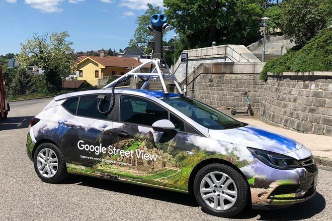
 Google Street View mapping car (source: Google)
It has been eighteen years since Larry Page got the idea of creating an online service that maps the world in photos. Three years later, the service was launched for the first time and included footage from five American cities.
Google Street View is part of Google Maps that allows people to remotely move around cities, towns, roads, and even some major sites. It is in fact a huge database of 360-degree photos that viewers can easily and quickly navigate between.
The service is currently available in more than a hundred countries, including Slovakia, which has been visible in Street View for ten years.
