"Is that Rysy peak?" a Polish tourist asked her hiking buddy, pointing in the direction of the peak shaped like the top of a hat.
"Yes, can you see people there?" retorted her buddy, to the chuckle of both her and me. Although I don't speak any Polish, luckily for me, the words are quite similar to their Slovak versions. More importantly, I understood the snide-ish tone of the question from personal experience.
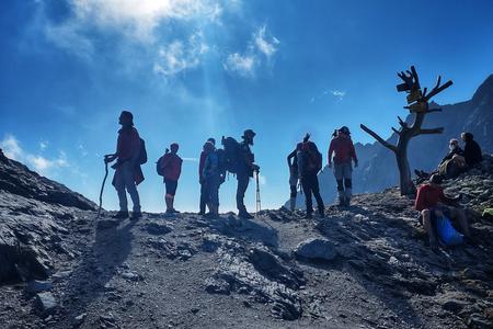
Being the highest peak in the High Tatras that can be reached without a guide, Rysy lures dozens of people on a daily basis. In other words, it can get overcrowded easily to the point you don't know where to sit, even on a week day.
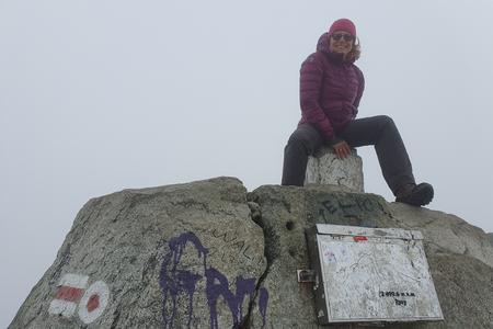
My memory was in stark contrast to our vantage point ‒ Kôprovský Štít peak ‒where only three of us were sitting on around 1.00 PM on Monday, September 25.
Although the two were hardly the sole people I met on the trail‒there was a person who decided to just run towards the summit through all the rock and by the time I got there, I saw him take a selfie, turn around and run back to whatever crazy place he came from‒Kôprovský Štít remains a little bit overlooked. Still, the hike is well worth the sweat.
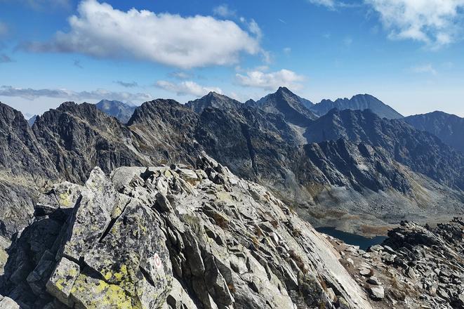
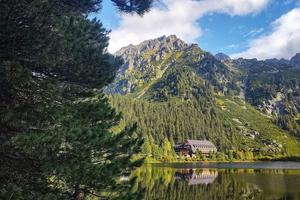
You will be rewarded with stunning views of the Western, Polish and High Tatras, not to mention you passing the largest mountain lake in the Slovak portion of High Tatras.
Get ready
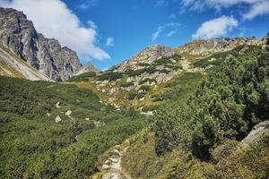
Let's get a few things out of the way first. The hike to Kôprovský Štít (2,367 metres above the sea level) is not easy, far from it.
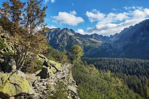
The trail is approximately 20 kilometres, with an elevation gain and loss of more than 1,000 metres each. The final stretch requires some climbing, and takes over 7 hours to get to the top and back, not counting time for rest; it took me 8 hours with 1 spent dilly-dallying and taking 259 pictures.