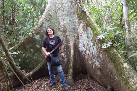
Having had to battle heavy rains and then searing drought, the expedition Milan Kováč was on in the north Guatemalan jungle last year was close to being called off.
The rains had brought much needed water that could be collected, but had left the roads mud-soaked and impassable for the cars for the team of Slovak and Czech Maya experts relied on for logistical support and food. And the droughts that followed quickly dried up the water sources they also relied on, leaving the team short of food and water for showering, cooking, washing, and drinking.
"We found ourselves on the verge of ending the project," Kováč, of Comenius University, tells The Slovak Spectator.
Kováč, who has been on many expeditions researching Mayan civilisation over the last 16 years, took the challenges in his stride, relatively at least.
He explains that on any expedition, you have to get used to having scarce resources.
There is no mobile service, so you have to forget any contact with your loved ones, he says. Gasoline fuel is rationed, so electricity is only generated between six and ten in the evening to charge devices, and team members get two litres of water per day for hygiene – a challenge in the extreme humidity in the jungle which leaves them permanently drenched in sweat.
And when it comes to food, there's just enough to go round.
"Well, at least I lose weight," he laughs.

Machetes and lasers
However, expeditions are easier than they used to be in at least one regard.
In 2016 Maya experts began using LiDAR, a technology that makes it possible to create a three-dimensional image of the earth's surface using a laser. In other words, it made mapping terrain and identifying potentially interesting places to explore much, much easier.
Until then, they had had to cut through the impenetrable jungle with machetes blindly because they did not know where to look. Now they can use LiDAR to scan the terrain from above and see where buildings, roads, and other objects are located beneath the tree cover.
"Once that's done, you just need to get there, make an access road, set up a camp, shore up the logistical support so that water, food, technology, gasoline, and people flow in, and we can start research." Kováč says.


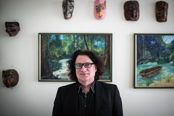
 Maya expert Milan Kováč. (source: SME - Jozef Jakubčo)